Storage of the certificates is presently done with file cabinets. Since Stu took the registrar job, certificates have been scanned as well.
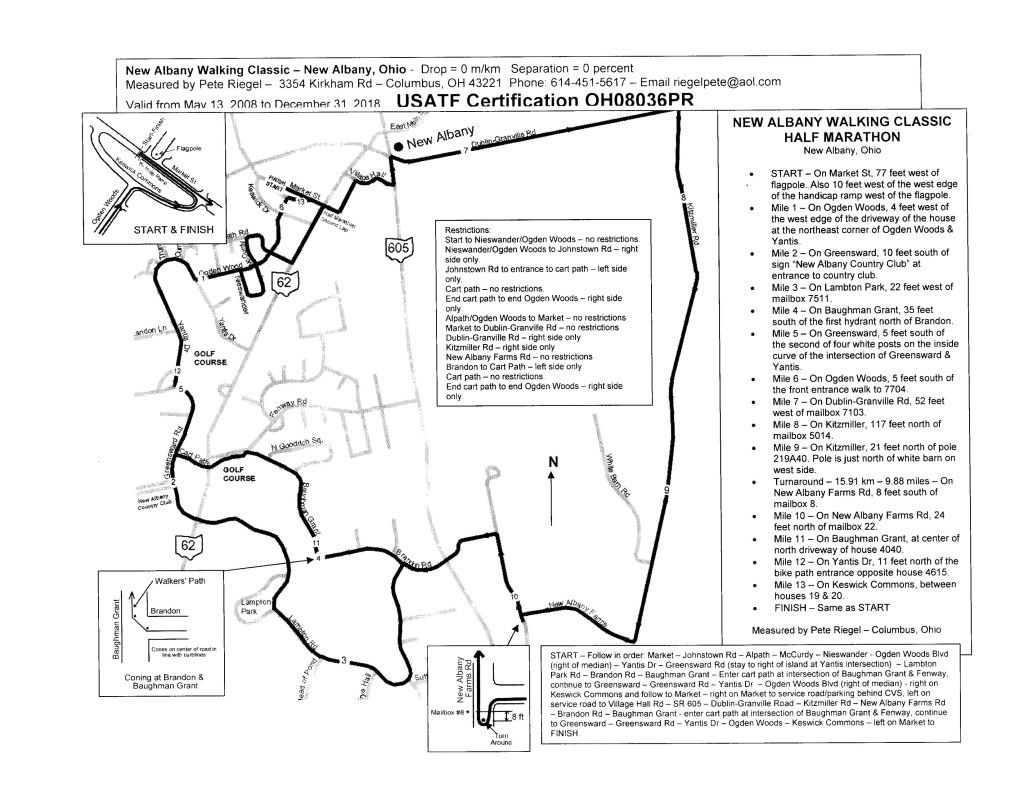
While we have made progress toward full electronic storage we aren’t there yet. Here is a modest proposal: Why not make the certificate integral with the map itself? An example of this may be seen below:

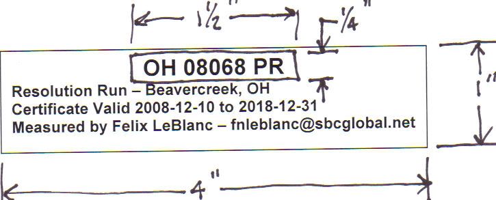
I have not included the contact for the race director, as I don’t think it’s relevant to the course itself. The raw data of actual separation and actual elevation is missing as well. The object is to produce a template, similar to our present certificate, which may be filled out by the certifier, cut to size, and taped to the course map. The map is then copied and copies returned to the measurer and the vice chair, who will check and forward to the registrar.
The course ID is in a location such that the registrar need not write it himself. It makes the ID visible when trolling through papers in a file cabinet.
This is very preliminary, and I’m sure others may have comments. I think it’s worth thinking about. In one stroke our paperwork is halved.
Any comments?


