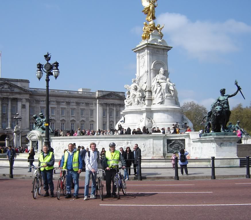
All the bikes used the Jones Counter, Model JR.
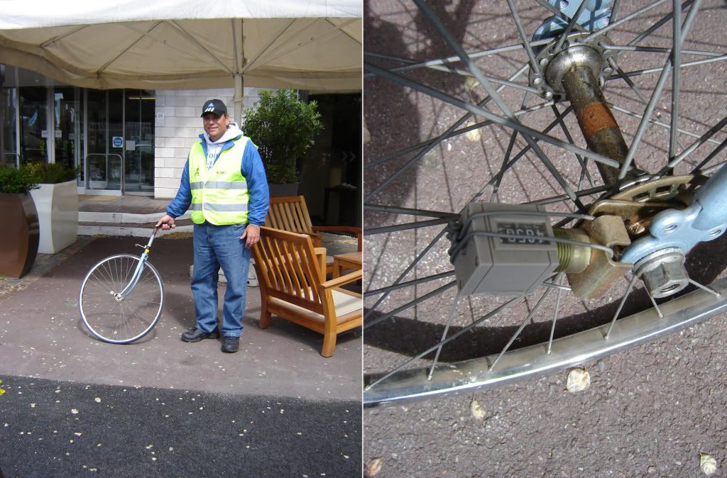
Late in the week we were informed that Tamil demonstrators in Parliament Square might interfere with the race as it passed by, so a different final mile was conceived and measured Friday by Hugh Jones. He gave me and Tom a sketch of the route and we went out on Saturday, the day before the race, to check it. We used a “Nicoll Wheel,” a measuring wheel made of a bike front wheel with a Jones Counter (NYRRC version, circa 1980’s) attached. This wheel was invented by Wayne Nicoll. I made one (with a solid tire) and gave it to John Disley many years ago and never used it until this year. It's far better than standard surveyor's wheels for our use.
We measured between two reference points which spanned the two routes. Distance between the points measured 8025 counts by the standard route and 8007 counts by the diverted route. The wheel was calibrated by rolling it along a 10 meter stretch of tape, getting 95 counts, twice, for a rolling constant of 9.5 counts per meter. By this we figured that the diverted route was 1.9 meters shorter than the original route.
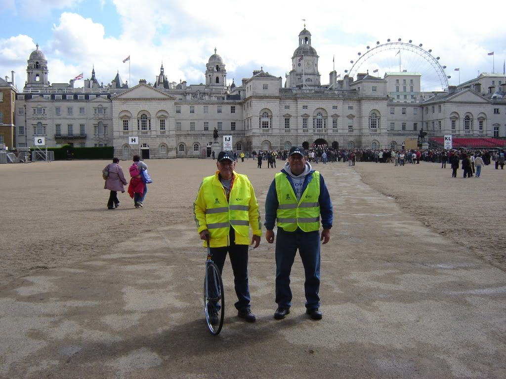
This was a fun morning, as we had to go through Horse Guards while Trooping the Colors was in progress, and mounted troopers occupied the SPR. We thought of shouting at them to move for us, but decided to wait instead.
It was a fine morning out, but wasted, as the original route was used.

Here’s Tom holding the wheel, above

Above: Here we are at Horse guards. We are waiting for the path through the gate to open up.
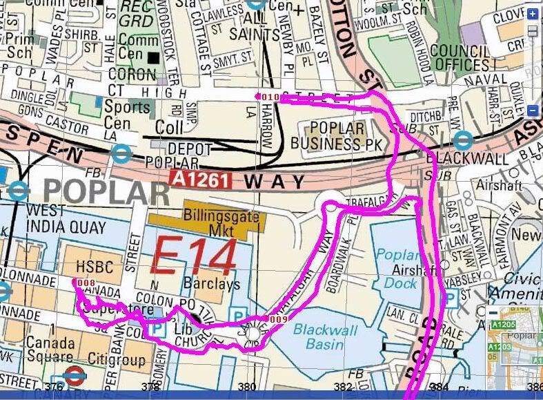
As for comparative numbers, we had only one reference span that had been adjusted since last year. It went between a lightpole on North Colonnade of Canary Wharf to lightpole 53/22 on Poplar High Street. This distance was measured as follows:
1352.16 m - Hugh Jones
1356.22 m - Mike Sandford
1353.83 m - Tom Riegel
1353.63 m - Pete Riegel
We also measured an arc of cones along the finísh route. The arc divided two finish flows of runners. We all got an answer that said the cones added between 6.2 and 7.4 meters to the course. This, as well as the measurements in Canary Wharf, confirmed earlier measurements by Hugh, and no adjustments to the course were seen as necessary.


