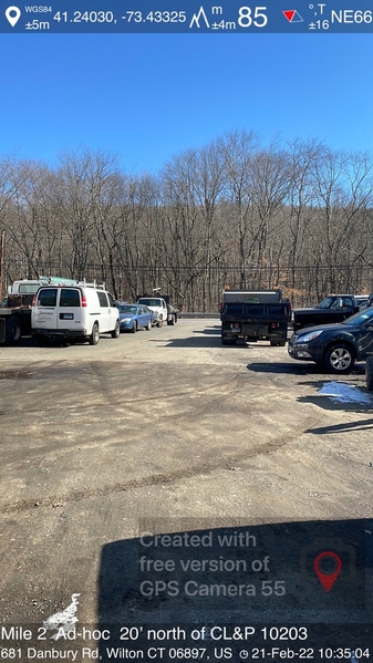
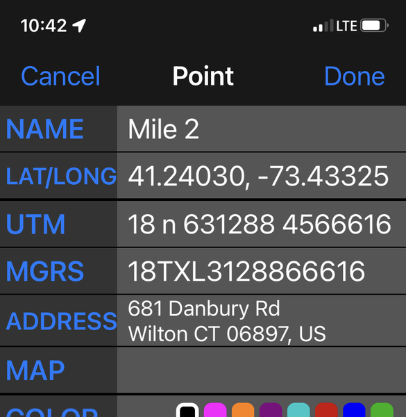
I stumbled upon this app and wondering if anyone else has used it. Looks like it would be ideal for landmarking points, especially where there are no permanent objects nearby.


Replies sorted oldest to newest
One issue I would think is that it's recording the GPS coordinates of where you are standing, not the GPS coordinates of what you are taking a picture of. I can certainly see it as being helpful as additional info to give to the RD. But I don't think you'd want to include those coordinates as the location of a mile mark on a certification map.
It is interesting that it gives you a street address. Not sure I've seen that from the phone apps I've checked out.
I’d think if you were close enough to the split point that wouldn’t be a big issue. I’d still landmark most points from permanent objects; this could be a useful substitute where those don’t exist.
Jim, Thanks for sharing this. I just found this post. Cool! This is a potentially very useful app! I could not find anything named "GPS Camera 55", but soon learned the concept is fairly common in the Android Play Store.
I selected for testing a similar app called "GPS Survey Cam" by Michael Kostner. He says it is a "freemium app". Ok, I can afford that.
I like that he built in the ability for us to control the text messaging on the screen, including a company name, project name, optional data like elevation, street address (brief or full), GPS coordinates, GPS accuracy, Time and Date, and even mod the font size. We can even control the resultant photo file name from the app prior to shooting too.
I usually use a stand-alone GPS receiver and use the Mark Location function to capture splits in the GPS track.
Wondering if the cellphone GPS can compare reasonably well with a stand-alone GPS unit... might have to run some tests later.
I'd bet some of us have already compared cell-phone GPS accuracy against stand-alone GPS receiver accuracy. What'd you learn?
Jeff
Jeff, see the thread at the link below:
https://measure.infopop.cc/top...ocation-of-a-point-1
My post in that thread directly compares accuracy/repeatability of a handheld device and a couple different phones. I didn't see much difference, at least for the newer phone (hover over the dots to see the device used for each).
However, if you are getting the GPS location from a phone while standing 20 feet away taking a picture, add 20 feet of inaccuracy to all the phone locations. ;-)
My iPhone 12 Pro Max gets down to between 9 and 13 feet whereas the iPhone 6 never got better than 16' as indicated on Solocator. Seems like reads are closer too. But for SURE, it is also a LOT faster about getting there.


