I just finished a 15 mile course that was supposed to be an unexceptional, if pleasant, out-back on a nice, straight, level rails-to-trails. Unfortunately, my first measurement went all the way to the end of the available pavement and came up 2 km short, 1 km each way. It was possible to scramble down a steep gravel bank and reach a road that had enough room for the extra, but that was not really an option.
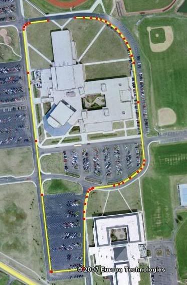
I used Google Earth to measure several options. Fortunately, the area in question had high-resolution pictures. I was able to see the lightpole at the start, and the adjacent one. I plotted an extra out-back at the start, between the two poles, and Google yielded 1077.5 meters. From past experience I trusted it. I’ve learned that I can do this. If you blow it up you can see the curbs quite nicely.
Yesterday my two measurements of the distance yielded 1075.73 and 1075.57. I was pleased, as when I got to the top end I reached the TA 64 meters before the pavement ended.


